Site History
2022: The Remedial Investigation (RI) report concluded that the presence of munitions of explosive concern (MEC) poses unacceptable explosive hazards to current and future site workers (U.S. Bureau of Land Management, BLM, employees), as well as to recreational users and other site visitors. However, the report determined there are no unacceptable risks or hazards to human health or ecological receptors resulting from exposure to munitions constituents (MC) in soil, under current or potential future exposure scenarios. Consequently, a Feasibility Study was recommended to evaluate and determine viable response actions for addressing the identified MEC and associated hazards/risks at Area A Munitions Response Site (MRS).
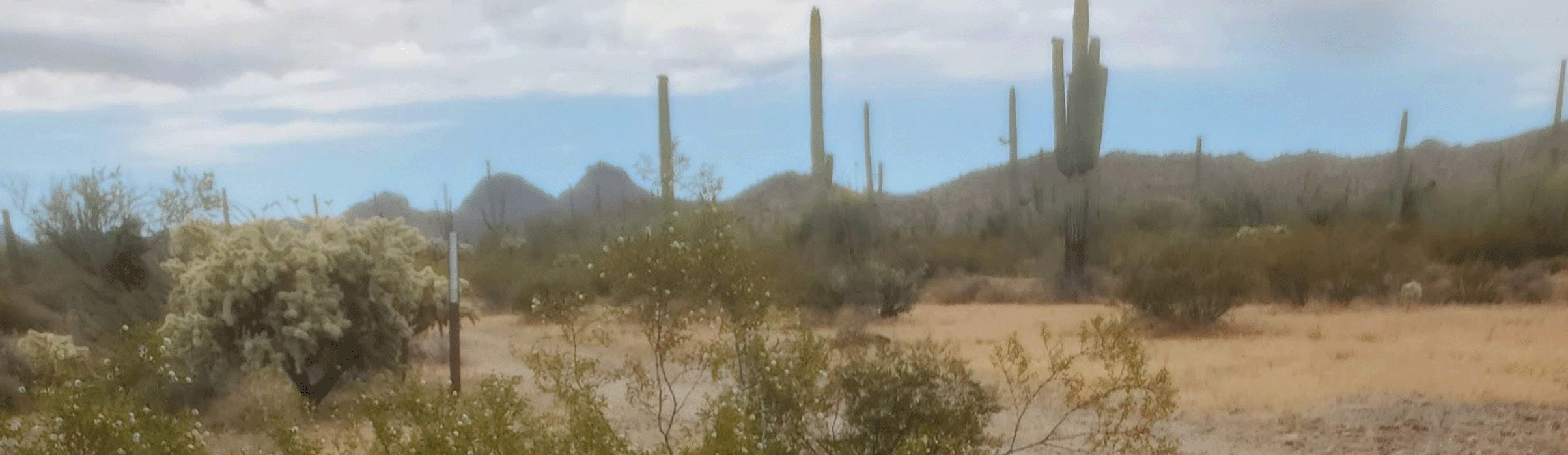
2019 – 2021: The RI involved collecting Digital Geophysical Mapping (DGM) data using a transect-based methodology across five target areas to pinpoint anomalies for intrusive investigation. In Area A, a total of 213 MEC items were recovered during the RI. Soil sampling revealed no sources of MC contamination.
2008: A Phase II Road Investigation was carried out to build upon the 2005 investigation and removal efforts. Its primary goal was to locate, identify, remove, and safely dispose of potential MEC along 57 miles of roads and wash areas within Area A.
Additionally, a supplemental investigation was conducted in Area A's eight target areas, previously examined during the 2005 Site Inspection (SI), with the same objective of locating, identifying, removing, and disposing of MEC.
Despite the discovery of MEC on the surface outside the designated target areas, the final report concluded that further clearance activities in the target and step-out areas were unnecessary. This determination was based on two key findings:
- No MEC was recovered during the target area investigation/removal.
- Subsequent investigations and removals conducted since 2005 have only recovered limited quantities of MEC and munitions debris (MD).
As a result of MEC being found away from the target areas, the SI report recommended that the Air Force and BLM maintain the current “by permit only” entry requirements for the Area A portion of the Sonoran Desert National Monument. The report also advised installing additional warning signage along roads leading into and through the target sites area.
2005: An SI of Area A included a pilot study to assess the effectiveness of DGM towed array technology in locating MEC. The primary goals of the SI were to determine if MEC remains at four identified target areas in Area A and whether MC contamination is present in the soil at those sites.
The SI involved surface reconnaissance, full-scale DGM, intrusive investigation, and soil sampling at the target areas. While no actual MEC items were discovered during the SI, the observation of multiple items of MD led to the identification of the target areas as potential MEC source areas.
Based on the analytical data collected, soils at the target areas were found not to be contaminated by MC, and no unacceptable risks to human health or the environment were identified from MC. However, potential risks associated with MEC hazards were identified at the target areas.
2003: A Decision Document was finalized for the closure of Site SD-02.
2001 – 2002: Luke Air Force Base Explosive Ordnance Disposal conducted a Phase 1 Environmental Baseline Survey within Area A. A summary of munitions identified during the survey included 2.25 inch Sub-caliber Aircraft Rockets, M38A2 100-pound practice bombs, 25-pound practice bombs, fragmentation from a 2.75 inch white phosphorous and high explosive rocket warheads, fragmentation from large, heavy-cased high explosive munitions, M117 750-pound demolition bomb, expended smoke grenades and parts of a 5-inch rocket warhead.
The remediation project at Site SD-02 did not achieve its goal of 1 milligram per kilogram of chlordane, despite the excavation of 41 55-gallon drums of rock and soil. Further excavation was deemed impractical and no longer cost-effective due to the difficult terrain. To minimize exposure for humans and wildlife, a rock cover was installed. The site was back-graded, and the hill contours were restored. The U.S. Fish and Wildlife Services directed the re-seeding of the bluff area.
1999: The military determined that a part of Barry M. Goldwater Range-East was no longer necessary for training activities. Consequently, 77,703 acres of this land, referred to as Area A, were transferred to the BLM.
1997 – 1998: Excavation and soil sampling were performed at Ajo Radar Station Site SD-02. The site was impacted by lead and chlordane, stemming from used oil pipe discharges at the outfall.
1971: Operations at the Ajo Radar Station were terminated, and the facility was abandoned the following year.
1941 – 1962: The Barry M. Goldwater Range, formerly called the Luke Air Force Range, was developed in 1941 to provide training for air crews in aerial and air-to-ground combat and for the evaluation of new weapons and tactics necessary to develop skills for national defense. The range was expanded in 1962 and is still being used for training today.